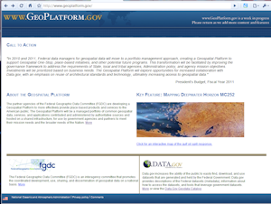
 The U.S. federal government is continuing in their efforts to deliver data with the launch of the Geospatial Platform.
"The Geospatial Platform will be a managed portfolio of common geospatial data, services, and applications contributed and administered by authoritative sources and hosted on a shared infrastructure, for use by government agencies and partners to meet their mission needs and the broader needs of the Nation."
The Surveying, Mapping, and GIS blog written by David G. Smith, PLS PE, offers additional information and insight into this new initiative. Check it out at: http://surveying-mapping-gis.blogspot.com/2010/06/federal-geospatial-platform.html


