Day 7
Night Meeting for the Downtown Master Plan
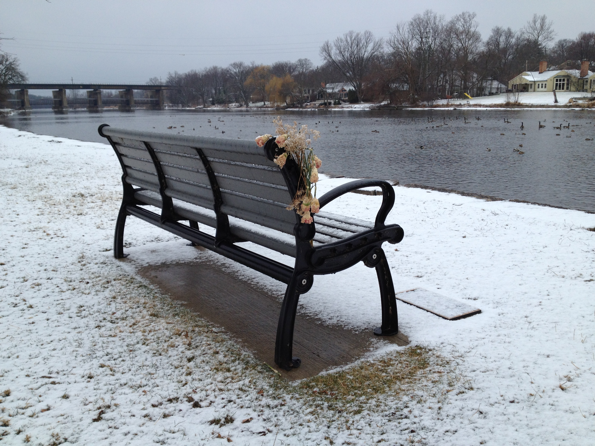
I'm late getting this post up because I attended a meeting of our Downtown Master Plan Committee. We are in the process of having a plan prepared for our downtown area which is a big deal for us because we have such an awesome downtown and want to make sure it stays that way. My main input to the plan is more on issues related to engineering such as traffic and infrastructure. Tonight we discussed the 33 areas that were targeted for potential redevelopment within the study area. But at the end we also talked about one of the main routes through our downtown. It's a four-lane state route with approximately 20,000+ ADT and diagonal parking on both sides. We have sidewalks on both sides that are about 10 feet wide abutting buildings constructed to the street line. The point of discussion was that our planners have gotten feedback that people feel uncomfortable walking along this road. However our records show minimal accidents in this area, (see photo on left) particularly related to the parking or pedestrians. But the planners felt they had to address these concerns and suggested some alternatives to the section. One of the designs had some of us concerned about the possible result of losing major amounts of parking for the sole purpose of picking up a few more feet of sidewalk with no proof of an increase in safety.
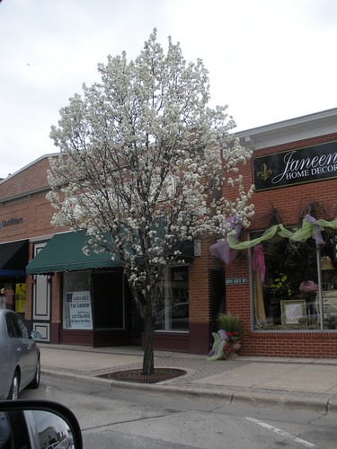
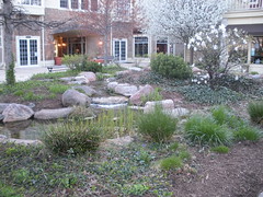
Based on my experience with walking these routes regularly at night, people can't feel too uncomfortable because this busy route is always filled with people walking or congregating on the sidewalk. And that's one of the things we really like about the area. There's always so many people walking everywhere downtown – even on this busy route. As someone who has not lived here long, I think the reason people say they don't like the busy route as much is because the other main route through our downtown is a unique and charming roadway with five-foot sidewalks, a grass parkway, and buildings set back about 25 feet or more (see example of this part of our downtown below). It's hard for any other downtown road to compete with that one. And adding a few more feet to a traditional downtown sidewalk is not going to transform it into this other type of street environment. But the planners are convinced it will make all the difference in the world. While for us engineers we cannot justify negatively impacting the traffic to increase the perception of a nicer looking road.
And in a way, taking that stand is a little ironic for me because if you read my blog regularly, you know I am somewhat anti-car. Not that I hate them or anything; I just feel they are in their decline as a mode of transportation. The more I read and the more I consider the future of transportation, I am convinced we are on the brink of beginning the transition to a new system – one made up of something along the lines of PRTs co-existing with rail, bicycles, and pedestrians. And I start to wonder each time I design and build something for cars, just how long a life it really has. So part of me wants to plan for something beyond a reliance on cars as the primary mode of transportation. But as much as I am ready to ditch my car for a pod tomorrow, the engineer in me understands that's not the reality of today. So for now I accept the fact that people still love cars and want to use them and my job is to provide the infrastructure for that in the best, safest, and most economical manner. Of course the engineers are only one voice in the entire process – many more have to weigh in before the draft plan is prepared.
The rest of the day
Today was really busy; well most days are busy, but for some reason today seemed even more so. I started out again trying to keep up with emails but had to pull away to work on finalizing the property owner information for the parking lot we are constructing. I wanted to send the map and legal documents over to our city attorney at the end of the day, but will have to wait because I decided to have the interns check over our work one more time to make sure it is correct. Too often, I notice people get so busy and need to push work out the door that mistakes are made. I hate when I do that. So I've been trying to make a concentrated effort to have everything in our office checked by someone if possible. This is how it used to be when I first started working in engineering, and I think over the years this quality assurance check has been neglected more and more in our industry.
Road Project
In the morning, I ran out with the project engineer for our road project. He wanted to show me the condition of the concrete pavement that had been under the asphalt we ground off. One road was unusual in that it seemed to have no cracks. Most older concrete pavements I've seen have cracks so it was interesting to see one that did not. The other road we looked at was cracked in a typical fashion. Over the years, the city had been using an area reflective crack control before placing the asphalt. But last year the contractors told us in the future we will pay more for grinding if there is crack control material under the asphalt. So this year we did not use it. The engineer discussed using a crackfililng material. I was hesitant to do so because another engineer had shared a negative story with me about paving over asphalt that had been crackfilled. So I called him to again hear the story of his experience. He said the hot asphalt will cause the crackfilling material to bubble up through the new asphalt and damage the new pavement. Instead of using crackfilling material, it's best to use a type of sand mixture if you must seal the cracks. We discussed the matter a little more in our office and decided not to fill the cracks.
Annexation Inquiry
A person who lives nearby but not in our city called to see if it was possible to hook up to our water and sewer. This is a common call most engineering departments get every now and then. In our city, we require a property owner to annex into our city if they want to hook up to our utilities. So I explained this and how they could run utilities to their home. They said they would look into it more and call back if they decided to go forward. Fortunately in this case, I had already looked at how to serve this area. But if you get these calls and have not done this, it can be time-consuming because you have to look at all the maps and sometimes the elevations of the area to figure out how someone can get to utilities and how much it will cost.
GIS problem
One of our GIS users had a problem with their map that unfortunately I was not yet able to figure out. We have a line feature class that in my map shows up as a line. However, in their map, it is showing up as a polygon. I could not find this problem talked about anywhere online so will have to keep looking into it tomorrow.
Miscellaneous Tasks
- The frames I had picked out last week for those inlets on our road project were delivered today.
- We met today with members of other departments to discuss the project I talked about above where we are designing a new parking lot in our downtown.
- And finally I had arranged for several engineers in our office to listen to the webinar on PROWAG that was hosted by AccessibilityOnline. It was very good and informative.